Multimedia: Games, Apps and Models
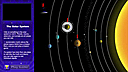
Learn more about weather, meteorology and the GOES-R Series Program by playing some fun and educational games! Find out how a hurricane forms, how GOES-R series satellites will help improve weather forecasts, how the satellites contribute to search and rescue efforts, and how the sun affects weather on Earth.
Click on the thumbnail images or links below to launch or download our games and apps.
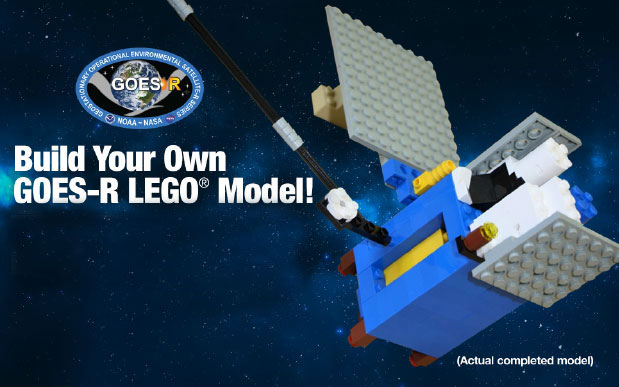
GOES-R LEGO Model
Step-by-step instructions plus a complete brick and parts list to build your very own GOES-R model!
SciJinks Games and Apps
Fun activities from NOAA's SciJinks.
ZAP!
Make lightning with ZAP! You’re an updraft! In this game, build up charges within a storm cloud.
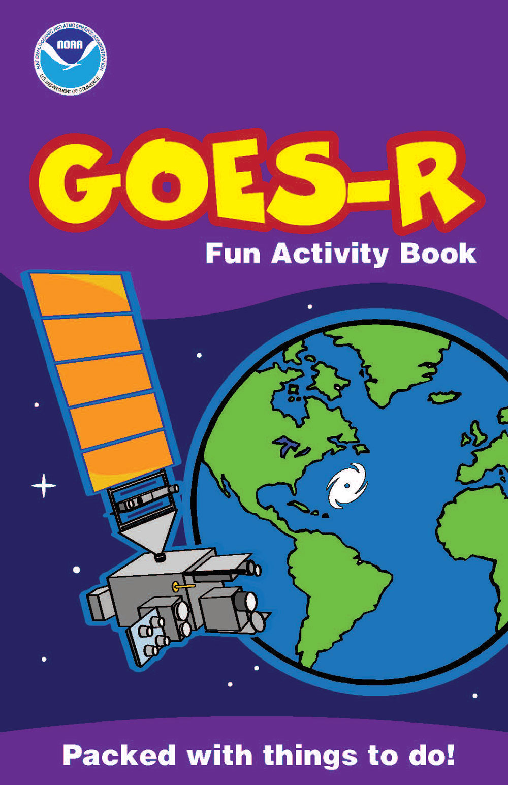
GOES-R Fun Activity Book
Download the GOES-R Fun Activity Book and explore GOES-R and the weather through mazes, crosswords, word searches, coloring pages, and other fun puzzles and activities!

Weather Tricktionary
How much do you know about the weather around you? In Weather Tricktionary, test your knowledge by picking out the correct definition for different weather terms.
University of Wisconsin, Cooperative Institute for Meteorological Satellite Studies (CIMSS) WebApps
Spectral Band WebApp
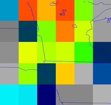
Spectral Band WebApp: Explore information available from different spectral bands measured by satellites.
Spatial Resolution WebApp
Spatial Resolution WebApp: Explore connections between improved spatial resolution and image clarity.
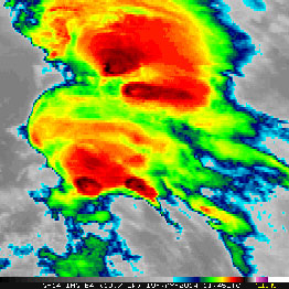
Image Resolution WebApp
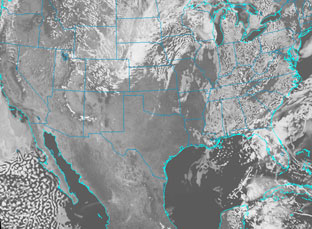
Image Resolution WebApp: The Advanced Baseline Imager provides four times the spatial resolution and more than five times faster temporal coverage than previous GOES! These cases allow one to change the temporal and spatial resolution for a series of satellite images.
OTHER WEATHER RELATED GAMES AND APPS
SciJinks and Space Place
More fun activities from NASA's The Space Place and NOAA's SciJinks.
University of Wisconsin, Cooperative Institute for Meteorological Satellite Studies (CIMSS) WebApps
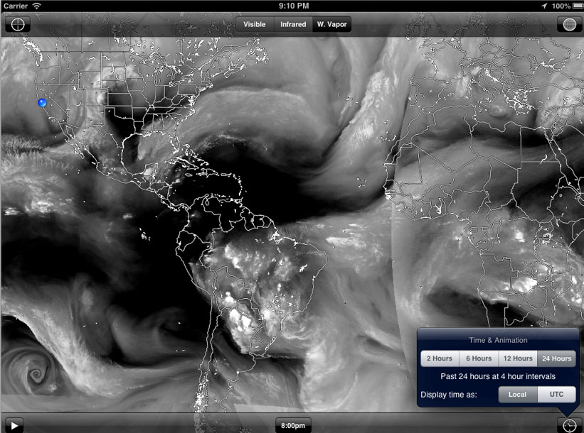
WxSat
WxSat (short for Weather Satellite) displays and animates full-resolution, real-time weather satellite data. WxSat leverages SSEC Data Center holdings and RealEarth to provide global coverage for visible, infrared, and water vapor channels. WxSat is available in the Apple iTunes store for iPhone and other iOS devices and Google Play for Android devices.
SatCam
SatCam lets you capture observations of sky and ground conditions at the same time that an Earth observation satellite is overhead. SatCam is available in the Apple iTunes store for iPhone and other iOS devices.
Weather and Climate WebApps
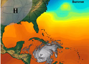
Use Weather and Climate WebApps to explore the atmosphere, including precipitation, lightning, thunderstorms, tornadoes, hurricanes and more!
University Corporation for Atmospheric Research (UCAR) Games
Memory games from the University Corporation for Atmospheric Research Spark Science Education Program.